12. Autonomous Navigation
Based on your skill level, there are beginner and advanced solutions for navigation and object avoidance. This page provides details and links to various navigation solutions that fit your robot's requirements and budget.
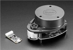
This video tutorial shows you how to add navigation with waypoints to a robot using a 360-Degree Lidar. This same result can be achieved using ARC's Lidars on any robot with a movement panel.
Navigation solutions range from low-cost single sensors to 3D depth cameras and 360-degree lidars. You can decide what type of sensors to add to your robot and choose the appropriate robot skills.
1. Simple Object Avoidance
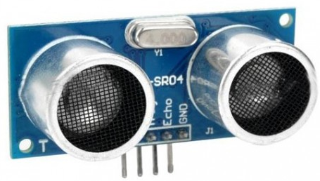
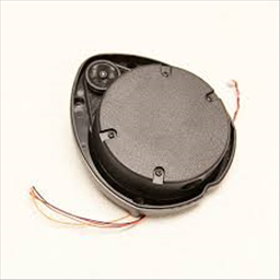
The simplest and lowest-cost navigation method uses distance sensors to avoid walls and other objects in the robot's path. This can be done with a single sensor or several sensors. Popular sensors for this simple solution are Ping Ultrasonic and IR Distance.
Ultrasonic Distance Robot Skills
Infrared Distance Robot Skills
2. Autonomous Navigation
ARC contains a messaging system for navigation called the Navigation Messaging System (NMS for short). While there are many navigation sensors, they vary in cost and accuracy.
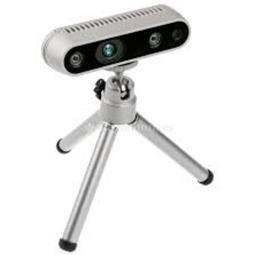
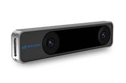
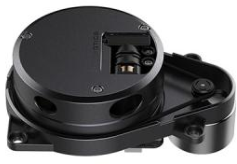
ARC's most popular SLAM for autonomous navigation system is The Better Navigator, which can navigate between stored points. The Better Navigator takes the average 3D point of a set of waypoints and uses that to navigate. The sensor data input type is essential for The Better Navigator to perform the desired operation. We recommend combining a 360-degree lidar with The Better Navigator robot skill. See the list below for supported Lidars, depth cameras, and many other navigation robot skills.
SLAM Navigation Robot Skills
Here is a list of ARC robot skills for navigation, including autonomous navigation and remote control. In many cases, it may be necessary to combine autonomous navigation with remote control if the robot gets stuck. Another option is to use Exosphere and have the robot request user assistance when it gets stuck.