
Asked
I am slowly getting all the quirks with the T265 worked out by docking etc. We really need some distance sensing as well so we can get better detail of our surroundings. @DJ are there any plans in adding a distance sensor like a D435 (or D435i since we already have an IMU in the T265).
Just trying to work out what I should purchase in anticipation of some future depth sensing capabilities.

@Proteusy:
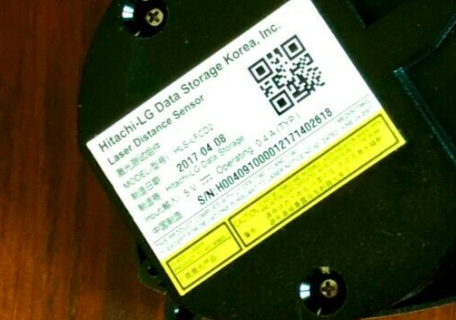
No. I have a stack of 3d sensors, from intel I have the R200 and ZR300 plus Kinects, Asus etc. All of them have a common goal to provide a point cloud, from there you can do "3d navigation" or convert to 2d Laserscan.Unfortunately Intel support is what it is... (I've explained in another post)
Most professionals and researchers are working with Unix and ROS, there are few ROS packages and the common requirement is to obtain a Point Cloud i.e. a bunch of 3D points.
So high features are always left behind, plus problems and issues with consumer operating systems i.e. Windows, but, once again is easy to understand if you are building a professional robot you don't use a Windows desktop on the Robot.
If you are Windows user or amateur robotics user soon or later you will hit an issue and you will experience their support.
To make it short, I plan to get one Realsense camera maybe a D435i or D455, the later model the RGB and IR images have the same resolution so allows a easy map between RGB and Depth data.
I'll wait to see what DJ plans to do.
If not the guy said it works with ROS, so I'll port the code.Cool. Just got a shipping notice already, so at least they are really in stock with him.
@proteusy: I have a friend in Portugal looking for some hardware and local tips and I would like to introduce him to you, can you please drop me an email ? (My email is in my profile)
Thank God I'm a hobby robot builder, at least at home. The Rplidar is perfect for what we need. At work I play with Sick laser scanners, not 360 but 180 degree ones and our diagnostic software is run in windows. Ptp could you share what the goal for your robot is?
@ptp You have mail.
Any lidar can be added to ARC via nms. It can be done by either creating a plug-in and passing for degree distance data to the nms. Or by writing it in JavaScript or python snd using the NMS navigation command to send distance data: https://synthiam.com/Support/javascript-api/Navigation/updateScan
One can't expect a $100 to perform like $319, $519.
Plus there are other issues related to the update rate, and precision requirements to generate good maps on top of that there are factors like robot speed, if your bot is slow like a vacuum cleaner, a slow rate and cheap precision is not a problem but can be if you try to move with higher speeds.