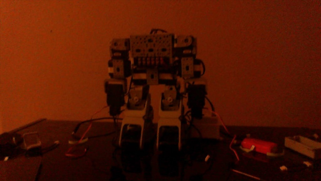
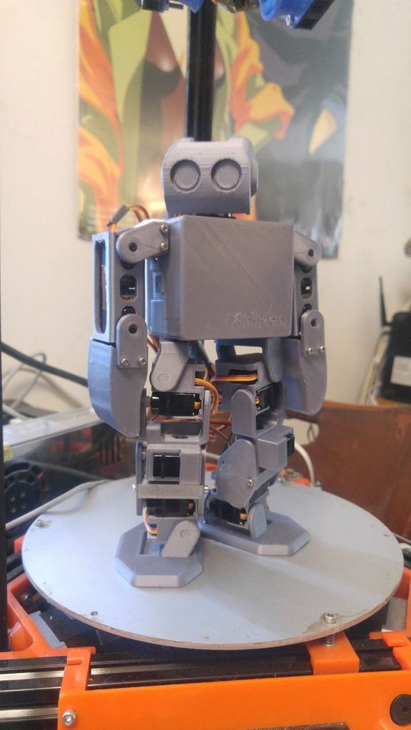
I'm currently working on a project in which I would like to do GPS waypoint control using the Six hexapod. I have an adafruit Ultimate GPS Breakout v3, that gives me the NMEA lines. I want the robot to go to each GPS location perform a particular task and then proceed to the next location. It is a proof of concept project and I do not need precision, a few meters is acceptable. I'm obviously going to do this outdoors. I would later may be have a differential GPS subscription for precision. I'm new to the forum and to the best of my understanding the there are no commands to obtain Latitude and Longitude from a GPS. I would add the 4in 1 sensor, for obtaining orientation.
I'm new to the forum and to the best of my understanding the there are no commands to obtain Latitude and Longitude from a GPS.
How do I go about solving this problem.
Thank you all in advance!
Other robots from Synthiam community

DJ's Omnibot TV Watching

Sudo's Project Shogun


Hi @srikanthkvs11 welcome to the forum!
Actually we have something that should help you out, check out this plug-in!
This is awesome thank you @Jeremie. The plugin seems to work with my adafruit GPS system. How do I use the information from the plugin in a script to obtain closed loop control?
The way I see it is, I could input a specific location and the hexapod can use the GPS peripheral to interpret it's current location and the compass for it's heading and then move towards the target GPS location. Once it is within a circle of error it could stop and move to to the next location.
You have a huge number of contradictory thread tags selected for this post - with c++ being one of them, and project showcase (for some reason). The question I have is what actually are you using for this? Can you expand on what technology you are actually using? Is it c++ with sdk? Is it ezscript in ARC?
The solution would be different based on the technology that you're using. Because if you need a solution for c++, it's significantly different than ezscript.
Let me know and we'll set you up
I'm really sorry about the tags. I would careful next time @DJ Sures.
I would like to start with ezscript if it is possible to accomplish my task.
I would like the hexapod to start at random location, given a GPS target location I would like the hexapod to crawl to that location. It then has a bunch of sensors that it uses to sense the surrounding and obtain data that could be stored on board or transmitted to the computer. After the sensing it should obtain a new GPS location to which it has to crawl and do the sensing again. This is an iterative process.
Thank you for your help!
Perfect! That means jeremies response is on the right track for your needs. It's great to hear that the gps plugin works with your hardware.
The next step would be to have the author of the gps plugin assign the values to ezscript.
Thank you @DJ Sures. But can I also create a plugin that would be able to do the proposed task?
You can create a plugin to do almost anything, but what you are describing should be easily achievable in EZ-Script. Really depends on your existing programming knowledge which would be easier for you. If you are a C# programmer, a plugin may be easier for you. If you don't have a programming background, or your background is in another language, then EZ-Script is very easy to learn and work with, and you will have more resources on the forum to help you (we have a few "real" programmers, but many more script writers).
Once they start shipping again, you may want to get the 4in1 orientation sensor. One of the issues with GPS is that it can't tell you what direction you are facing unless you are moving at least 1km/hour. The 4in1 sensor has a compass, so you could calculate which direction to move from the GPS waypoint, then head that way based on the compass reading.
Alan
Six is an awesome robot for sure... but is it a good choice to use with GPS? I would have to say Roli would be a better choice... GPS is only accurate to within 10ft, and Six doesn't have the "legs" so to speak for much distance... To top it off GPS is practically useless indoors... Also Roli would probably cover more ground than Six on a single battery charge I would think...
I did exactly what you are attempting to do several years ago... However my robot was a heavy duty wheeled outdoor bot that had the battery capacity to do close to a kilometer... I was able to create a waypoint with my Garmin GPS and have the robot navigate to it in an open field...
What you want to do with Six sounds like you need more precision than a just a common consumer based GPS..... Just my opinion but hopefully you will at least get a proof of concept out of this...